


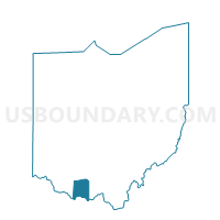
CEDAR MILLS Voting District, Adams County, Ohio
About
Outline

Summary
| Unique Area Identifier | 642426 |
| Name | CEDAR MILLS Voting District |
| County | Adams County |
| State | Ohio |
| Area (square miles) | 17.13 |
| Land Area (square miles) | 17.12 |
| Water Area (square miles) | 0.00 |
| % of Land Area | 99.98 |
| % of Water Area | 0.02 |
| Latitude of the Internal Point | 38.83477520 |
| Longtitude of the Internal Point | -83.38606760 |
Maps


Graphs
Select a template below for downloading or customizing gragh for CEDAR MILLS Voting District, Adams County, Ohio


Neighbors
Neighoring Voting District (by Name) Neighboring Voting District on the Map
- JACKSONVILLE Voting District, Adams County, OH
- LYNX Voting District, Adams County, OH
- MINERAL SPRINGS Voting District, Adams County, OH
- TIFFIN EAST Voting District, Adams County, OH
- WAMSLEY Voting District, Adams County, OH
Top 10 Neighboring County Subdivision (by Population) Neighboring County Subdivision on the Map
- Tiffin township, Adams County, OH (5,560)
- Meigs township, Adams County, OH (3,905)
- Brush Creek township, Adams County, OH (1,236)
- Jefferson township, Adams County, OH (1,046)